Thursday, September 20, 2012

Other notes on the summer and stuff

Look at all the places I took photos this summer:


 Total photos for the summer: about 6000.

Driving mileage on each day of the trip back:
Day 1    From the Village through YNP    145 mi
Day 2    To Devil's Tower, WY               339 mi
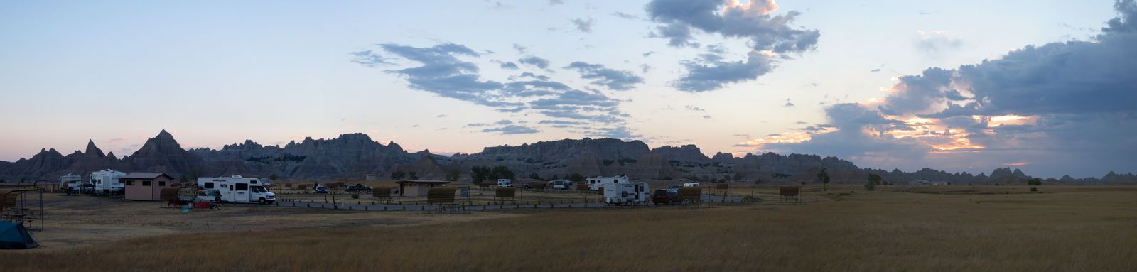
Day 3    Mt Rushmore and Badlands        240 mi
Day 4    To Newton, IA                           620 mi
Day 5    To Vermillion, OH                      605 mi
Day 6    To Bedford, MA                        683 mi

Fuel notes:
On the drive out there in June, the Ru got about 26.9 mi/gal. On the way back, I pulled about 27.8, despite having two, instead of one, bike on the roof. Why the difference? Not having Rosie in the car? Traveling predominantly downwind?

Driving speed is a huge factor for fuel mileage. Driving up and down steep mountain passes at 40-50 mph is more efficient than driving over flat terrain at 70+ mph, as I do in New England, all because of aerodynamics.

I have the blood of ten thousand dead bugs on my hands.
And my fork, handlebars, brake levers, and shifters.

Dead bugs got smeared all over every leading-edge surface on the bikes. A bee got impaled over my big chainring and butterfly is still wedged in under the front hinge of the Ruf box.

At any rate, made it to DJ & Kathy's wedding Saturday:

 Sunday we went for a walk in a park which had a bridge shaped like a boat.


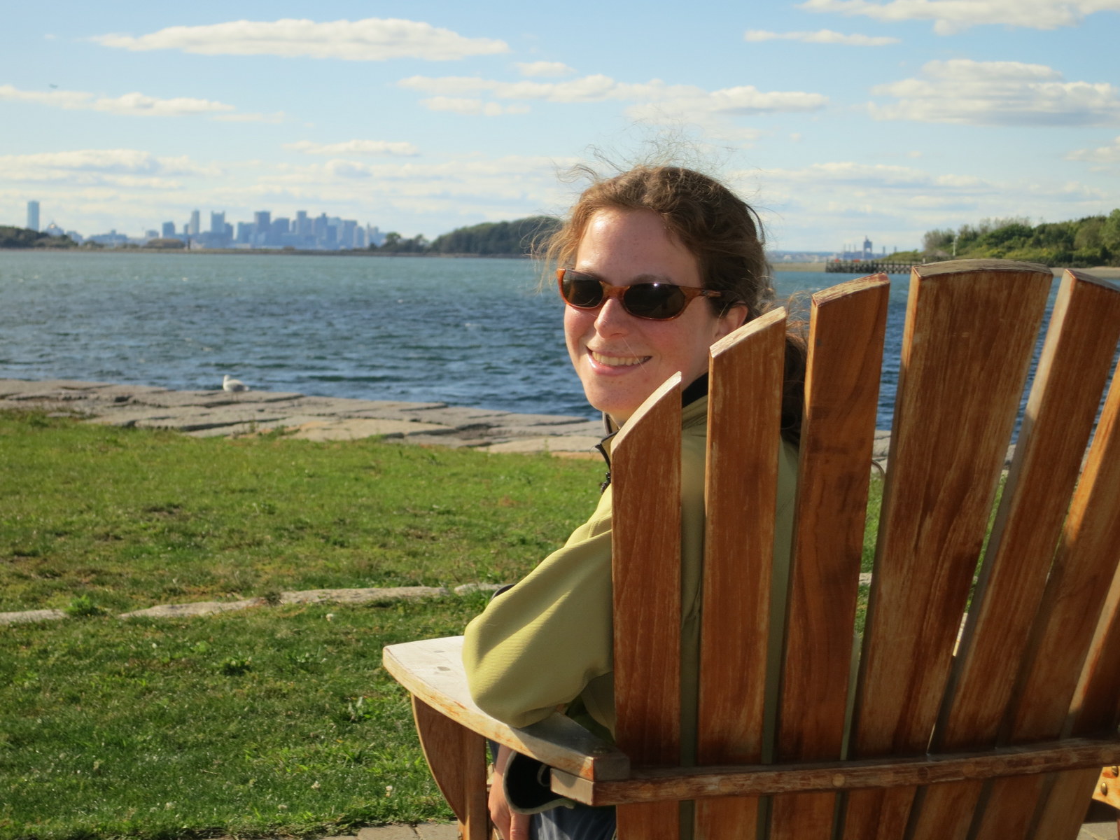
This weekend we went sea kayaking to get to Greg and Kristina's birthday party in Boston Harbor.


Thank you Rick!

Thanks to all the people who've kept an eye on the blog this summer, it's been fun hearing people's comments and reactions to our activities and photos. I'll probably continue adding to it to document future trips, so feel free to keep checking it out, especially once the snow starts.

Tuesday, September 18, 2012

Return east: day 3.2, Badlands NP

Swung down into Badlands National Park, the main road through which parallels I-90 8 or 10 miles to the south. I had no idea what to expect, and almost skipped it, but this made it all the more pleasant to sojourn about.

The hills and other formations in Badlands are eroding by about an inch of height per year. Below, see buttresses which once supported a  safety rail. The park was impressively free of safety rails...people are quite welcome to fall off any cliff or down any gully they'd like, and even the main park road went really close to cliff edges in several spots.

Much of the park is like this: a flat, grassy tableland bounded by eroded, fluted, spiney cliffs, which end in another flat grassland. The dust is being kicked up by cars driving on the dirt road out there on the tableland.


Big hills, little hills.


I bet that hurt.I hope it didn't bruise the meat and make it excessively tough.


A little winding creek.


An area called the Yellow Mounds.


Little mini canyons in the low flatlands.


Grassy flatland at left, then cliffs, then grassy flatlands at right.


Some goats.


Horizontal bands of geology.


Badlands Photosynth:


 Big chunks, medium chunks, tiny chunks of earth. Polydispersity.

Another Badlands Photosynth:


 The campground. I was thinking of pushing on but camping in this nice place was too tempting.


Before shoving off and putting the pedal down, I stopped at the Minuteman Missile National Historical Site, conveniently located to pull in some of Badlands' through traffic. This site is a monument to the thousands of nuclear missile launch sites located all over the northern midwest. I could have gone to see a launch control facility and missile silo in person, but I would have had to wait around for a while, so I just watched the homemade documentary they showed and checked out some little exhibits. Still really interesting.

The next three days were pure driving. You know it's a road trip when a three hour stretch of sitting in the car feels like trivial period of time. 
In other news, the crosswinds in SD were so strong that it actually slid my bike, in its rooftop rack, laterally, so it was whacking Rosie's bike, carving a decent chunk out of my seatstay.
Against all odds, however, Rosie and I did make it to DJ's wedding that Saturday in Maine.

Monday, September 17, 2012

Return east: Day 3.1, Devil's Tower to Rushmore


IT'S LIT UP FROM THE OTHER SIDE!!

As you can see, it's a very nice campground, nice old trees and the tower right there. Not so nice: just outside the monument, at a little junction with a post office, a convenience store, and a KOA, was probably the only music venue for 100 miles, and they were playing a very loud rock concert with a band covering late standard, fairly boring late 90s mainstream rock. Good thing I had earplugs!
 
Prairie dogs...prairie doggin'.


Sammy in the Prairie Dog Town (the official name). Prairie dog burrows stretch as far as the eye can see across this huge flat area. Some burrows go under the concrete walkways.


A work of art by a Japanese guy. He also installed sculptures at the Vatican and at a sacred Buddhist site.


Some turkeys wandered through the campground but Sammy kept me safe.


Seriously, right Greg?


A big cave, apparently. Below is a map of Jewel Cave, which, according to Wiki, has 157 mi of caverns. I didn't get to go in because access is limited to ranger-guided groups and I would have had to wait around a while.


Detail of the map.


What it might have looked like, had I been inside:

 Then I went to Mt Rushmore. Big carvings which may look familiar:


I ran a very brief loop around the grounds below the carvings themselves, because Sammy was in the hot car.

Interestingly, again according to wikipedia:
Mount Rushmore is controversial among Native Americans because the United States seized the area from the Lakota tribe after the Great Sioux War of 1876. The Treaty of Fort Laramie from 1868 had previously granted the Black Hills to the Lakota in perpetuity. 

Oops, sorry guys!


Then we drove to a trailhead to the nearby Black Elk Wilderness we (I) had some  PB&J, followed by a hike.


At left is Mt Rushmore's backside. Also neat.


Other mountains. Quite a bit of rock climbing to be had around here.


Then we got back in the can, I mean car, and drove down to Badlands NP. I was thinking of skipping it in the name of laying down some actual miles for the day, but a lady working at a highway rest area/visitor center said I'd end up being disappointed if I drove right by it (it's not much off I-90). It turned out to be very cool. Next installment.